2009
TF1893 : Towards RAF Binbrook
taken 15 years ago, near to Stainton le Vale, Lincolnshire, England
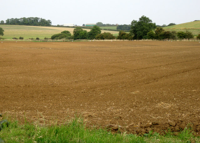
Towards RAF Binbrook
Looking N east from footpath to Kirmond-le-Mire, some hangars of former RAF Binrook can be seen on the horizon. The colour of the soil here indicates the underlying geology is red, rather than white, chalk.
 Map © Crown Copyright")
TIP: Click the map for more Large scale mapping
- Grid Square
- TF1893, 11 images (more nearby 🔍)
- Photographer
- Kate Nicol (more nearby)
- Date Taken
- Saturday, 19 September, 2009 (more nearby)
- Submitted
- Sunday, 20 September, 2009
- Subject Location
-
OSGB36:
 TF 185 936 [100m precision]
WGS84: 53:25.5846N 0:13.0209W - Camera Location
-
OSGB36: TF 183 933
- View Direction
- North-northeast (about 22 degrees)