2009
TQ8035 : Chapel Lane
taken 15 years ago, near to Sissinghurst, Kent, England
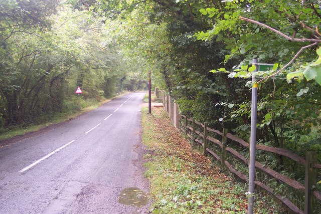
Chapel Lane
This lane leads from Golford to Benenden. The footpath on the right leads to Golford or Courseholme Farm.
 Map © Crown Copyright")
TIP: Click the map for more Large scale mapping
- Grid Square
- TQ8035, 38 images (more nearby 🔍)
- Photographer
- David Anstiss (more nearby)
- Date Taken
- Sunday, 20 September, 2009 (more nearby)
- Submitted
- Monday, 21 September, 2009
- Subject Location
-
OSGB36:
 TQ 803 357 [100m precision]
WGS84: 51:5.5559N 0:34.4779E - Camera Location
-
OSGB36: TQ 803 357
- View Direction
- South-southeast (about 157 degrees)