2009
ST6146 : 2009 : North from Burnthouse Drove
taken 15 years ago, near to Oakhill, Somerset, England
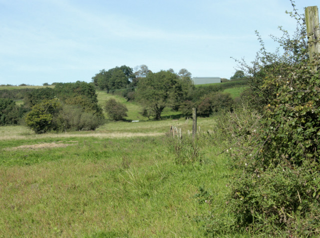
2009 : North from Burnthouse Drove
Looking over rough grazing.
It is possible to see the roof of a barn at Warren Farm to the right.
It is possible to see the roof of a barn at Warren Farm to the right.
 Map © Crown Copyright")
TIP: Click the map for more Large scale mapping
- Grid Square
- ST6146, 14 images (more nearby 🔍)
- Photographer
- Maurice Pullin (more nearby)
- Date Taken
- Friday, 11 September, 2009 (more nearby)
- Submitted
- Tuesday, 22 September, 2009
- Subject Location
-
OSGB36:
 ST 616 462 [100m precision]
WGS84: 51:12.8330N 2:33.0515W - Camera Location
-
OSGB36: ST 616 461
- View Direction
- NORTH (about 0 degrees)