2009
NU0645 : Path through the dunes
taken 15 years ago, near to Goswick, Northumberland, England
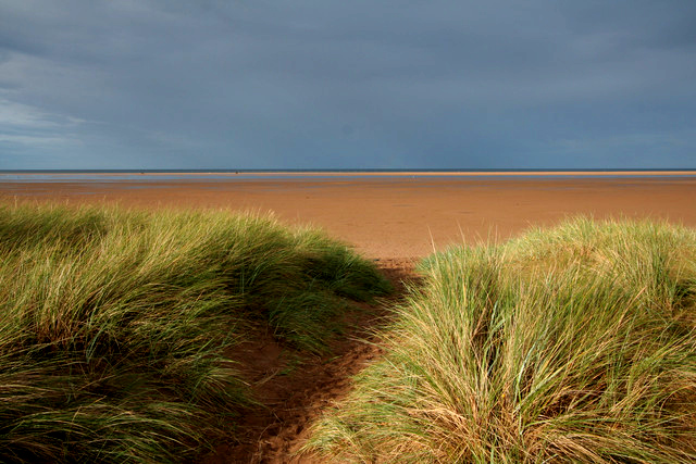
Path through the dunes
 Map © Crown Copyright")
TIP: Click the map for more Large scale mapping
- Grid Square
- NU0645, 36 images (more nearby 🔍)
- Photographer
- Mark Anderson (more nearby)
- Date Taken
- Tuesday, 1 September, 2009 (more nearby)
- Submitted
- Wednesday, 23 September, 2009
- Subject Location
-
OSGB36:
 NU 067 450 [100m precision]
WGS84: 55:41.9371N 1:53.6981W - Camera Location
-
OSGB36: NU 066 450
- View Direction
- North-northeast (about 22 degrees)