2009
NT3525 : A fence leading to Rough Knowe
taken 15 years ago, near to Yarrow Feus, Scottish Borders, Scotland
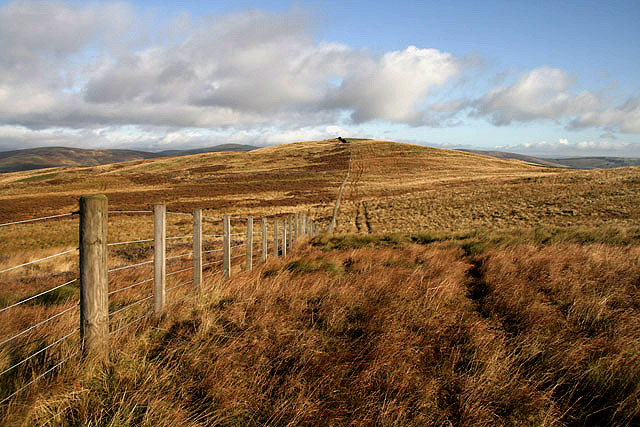
A fence leading to Rough Knowe
Moorland terrain between Ladhope Middle and Rough Knowe in the distance.
 Map © Crown Copyright")
TIP: Click the map for more Large scale mapping
- Grid Square
- NT3525, 9 images (more nearby 🔍)
- Photographer
- Walter Baxter (more nearby)
- Date Taken
- Sunday, 20 September, 2009 (more nearby)
- Submitted
- Wednesday, 23 September, 2009
- Subject Location
-
OSGB36:
 NT 3595 2563 [10m precision]
WGS84: 55:31.2119N 3:0.9591W - Camera Location
-
OSGB36: NT 3594 2561
- View Direction
- North-northeast (about 22 degrees)