2009
ST4516 : Field by the Parrett
taken 15 years ago, near to Norton Sub Hamdon, Somerset, England
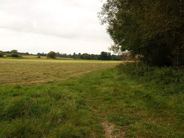
Field by the Parrett
The permissive path shown in ST4515 : Path by the River Parrett runs along the edge of this large field, with the river on the right.
 Map © Crown Copyright")
TIP: Click the map for more Large scale mapping
- Grid Square
- ST4516, 22 images (more nearby 🔍)
- Photographer
- Derek Harper (more nearby)
- Date Taken
- Tuesday, 15 September, 2009 (more nearby)
- Submitted
- Wednesday, 23 September, 2009
- Subject Location
-
OSGB36:
 ST 4554 1610 [10m precision]
WGS84: 50:56.5053N 2:46.5902W - Camera Location
-
OSGB36: ST 4567 1605
- View Direction
- West-northwest (about 292 degrees)