2009
SW5439 : The mouth of the Hayle Estuary
taken 15 years ago, near to The Towans, Cornwall, England
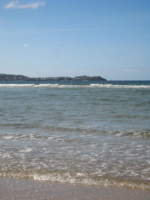
The mouth of the Hayle Estuary
In the centre of the picture waves are breaking on Hayle Bar and offshore can be seen the red and green port and starboard marker buoys indicating the channel.
 Map © Crown Copyright")
TIP: Click the map for more Large scale mapping
- Grid Square
- SW5439, 6 images (more nearby 🔍)
- Photographer
- Rod Allday (more nearby)
- Date Taken
- Thursday, 24 September, 2009 (more nearby)
- Submitted
- Friday, 25 September, 2009
- Subject Location
-
OSGB36:
 SW 548 390 [100m precision]
WGS84: 50:12.0571N 5:26.1813W - Camera Location
-
OSGB36: SW 549 390
- View Direction
- West-northwest (about 292 degrees)