2009
NU1121 : Track to Hagdon
taken 15 years ago, near to West Ditchburn, Northumberland, England
This is 1 of 2 images, with title starting with Track to in this square
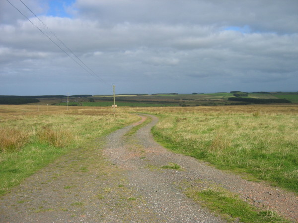
Track to Hagdon
 Map © Crown Copyright")
TIP: Click the map for more Large scale mapping
- Grid Square
- NU1121, 17 images (more nearby 🔍)
- Photographer
- Les Hull (more nearby)
- Date Taken
- Wednesday, 16 September, 2009 (more nearby)
- Submitted
- Monday, 28 September, 2009
- Subject Location
-
OSGB36:
 NU 112 218 [100m precision]
WGS84: 55:29.4193N 1:49.4109W - Camera Location
-
OSGB36: NU 111 217
- View Direction
- Northeast (about 45 degrees)