2006
TQ1750 : Railway Crossing Point
taken 18 years ago, near to Dorking, Surrey, England
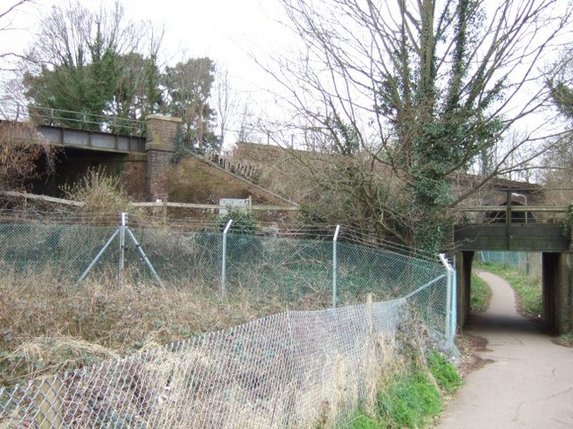
Railway Crossing Point
This is where Dorking's two railway lines cross.
 Map © Crown Copyright")
TIP: Click the map for more Large scale mapping
- Grid Square
- TQ1750, 304 images (more nearby 🔍)
- Photographer
- Martyn Davies (more nearby)
- Date Taken
- Tuesday, 11 April, 2006 (more nearby)
- Submitted
- Thursday, 13 April, 2006
- Subject Location
-
OSGB36:
 TQ 172 502 [100m precision]
WGS84: 51:14.3371N 0:19.3502W - View Direction
- WEST (about 270 degrees)