2006
SO6867 : Patchwork Field
taken 18 years ago, near to Orleton, Worcestershire, England
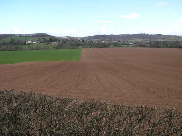
Patchwork Field
This field is bounded by the line of trees which follow the River Teme.
 Map © Crown Copyright")
TIP: Click the map for more Large scale mapping
- Grid Square
- SO6867, 9 images (more nearby 🔍)
- Photographer
- Michael Patterson (more nearby)
- Date Taken
- Wednesday, 12 April, 2006 (more nearby)
- Submitted
- Thursday, 13 April, 2006
- Subject Location
-
OSGB36:
 SO 689 677 [100m precision]
WGS84: 52:18.3917N 2:27.4531W - Camera Location
-
OSGB36: SO 6881 6763
- View Direction
- Northeast (about 45 degrees)