2006
NZ3721 : Trees Aligning Redmarsh Road
taken 18 years ago, near to Redmarshall, Stockton-on-Tees, England
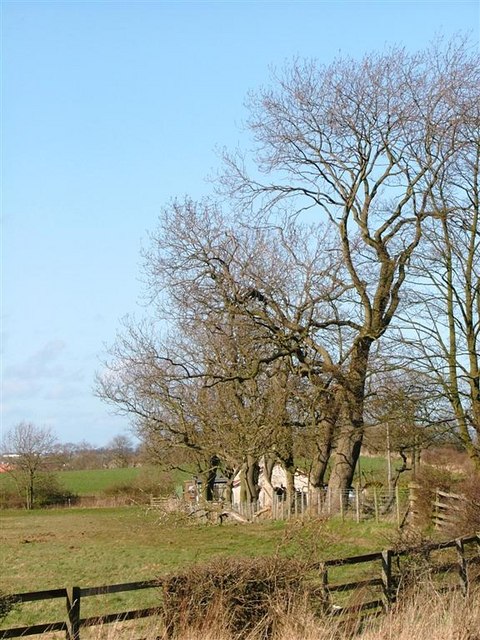
Trees Aligning Redmarsh Road
Looking towards a private house going by the name of Karamea on the OS 1:25000 map.
 Map © Crown Copyright")
TIP: Click the map for more Large scale mapping
- Grid Square
- NZ3721, 7 images (more nearby 🔍)
- Photographer
- Mick Garratt (more nearby)
- Date Taken
- Thursday, 13 April, 2006 (more nearby)
- Submitted
- Thursday, 13 April, 2006
- Subject Location
-
OSGB36:
 NZ 379 212 [100m precision]
WGS84: 54:35.0751N 1:24.9056W - Camera Location
-
OSGB36: NZ 379 210
- View Direction
- East-northeast (about 67 degrees)