2009
SP3716 : Byway, near Finstock
taken 15 years ago, near to Finstock, Oxfordshire, England
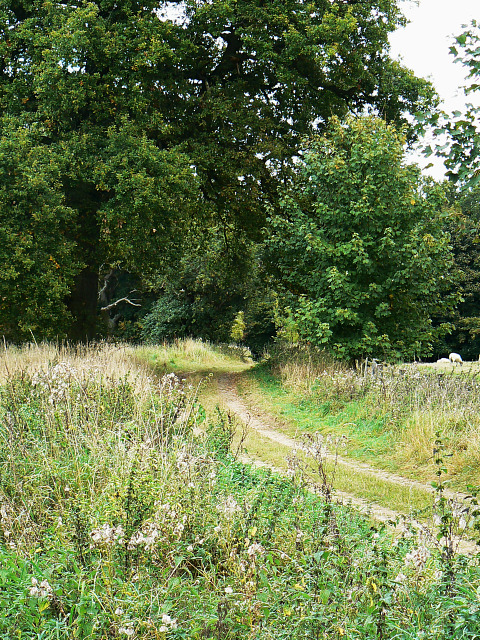
Byway, near Finstock
The byway, which is restricted, runs through Topples Wood and in a semi-circle to Finstock, west of here.
 Map © Crown Copyright")
TIP: Click the map for more Large scale mapping
- Grid Square
- SP3716, 27 images (more nearby 🔍)
- Photographer
- Brian Robert Marshall (more nearby)
- Date Taken
- Wednesday, 30 September, 2009 (more nearby)
- Submitted
- Thursday, 1 October, 2009
- Subject Location
-
OSGB36:
 SP 371 160 [100m precision]
WGS84: 51:50.5255N 1:27.7039W - Camera Location
-
OSGB36: SP 371 160
- View Direction
- Northeast (about 45 degrees)