2009
TL6682 : Irrigation reservoir on Harris Farm (2)
taken 15 years ago, 3 km from Kenny Hill, Suffolk, England
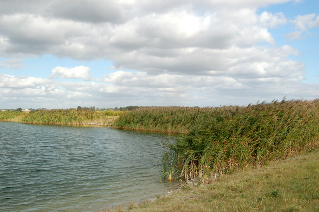
Irrigation reservoir on Harris Farm (2)
Reeds fringe this embanked reservoir immediately north of Harris Farm. The reservoir is marked on the OS 1:50000 map.
There is no public right of way on this arable farm: this photo was taken by kind permission of the farm manager.
There is no public right of way on this arable farm: this photo was taken by kind permission of the farm manager.
 Map © Crown Copyright")
TIP: Click the map for more Large scale mapping
- Grid Square
- TL6682, 24 images (more nearby 🔍)
- Photographer
- Andy F (more nearby)
- Date Taken
- Thursday, 1 October, 2009 (more nearby)
- Submitted
- Friday, 2 October, 2009
- Subject Location
-
OSGB36:
 TL 660 828 [100m precision]
WGS84: 52:25.0844N 0:26.4252E - Camera Location
-
OSGB36: TL 660 827
- View Direction
- North-northeast (about 22 degrees)