2009
TL6781 : Track leading east from Poplar Farm
taken 15 years ago, near to Kenny Hill, Suffolk, England
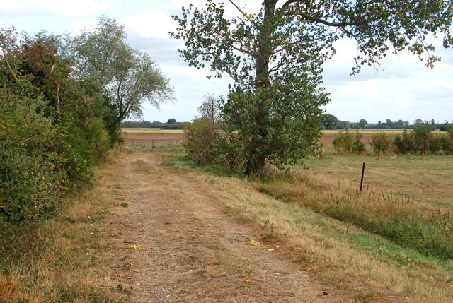
Track leading east from Poplar Farm
There is no public right of way on this farm: this photo was taken by kind permission of the farmer's wife.
 Map © Crown Copyright")
TIP: Click the map for more Large scale mapping
- Grid Square
- TL6781, 15 images (more nearby 🔍)
- Photographer
- Andy F (more nearby)
- Date Taken
- Thursday, 1 October, 2009 (more nearby)
- Submitted
- Friday, 2 October, 2009
- Subject Location
-
OSGB36:
 TL 671 810 [100m precision]
WGS84: 52:24.1383N 0:27.2991E - Camera Location
-
OSGB36: TL 670 810
- View Direction
- East-northeast (about 67 degrees)