1999
SD8573 : Sink holes, Pen-y-Ghent Gill
taken 24 years ago, 4 km SSW of Foxup, North Yorkshire, England
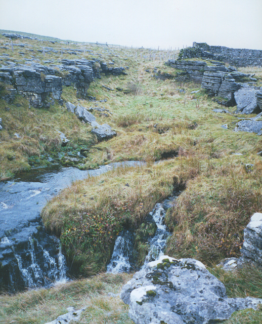
Sink holes, Pen-y-Ghent Gill
This view is looking upstream along the river bed, which is marked by a clear dip between small limestone scars. It is seen at the right of SD8573 : Pen-y-ghent Gill which is looking in the opposite direction.
 Map © Crown Copyright")
TIP: Click the map for more Large scale mapping
- Grid Square
- SD8573, 31 images (more nearby 🔍)
- Photographer
- Stephen Craven (more nearby)
- Date Taken
- Wednesday, 3 November, 1999 (more nearby)
- Submitted
- Friday, 2 October, 2009
- Subject Location
-
OSGB36:
 SD 857 733 [100m precision]
WGS84: 54:9.3566N 2:13.2279W - Camera Location
-
OSGB36: SD 857 734
- View Direction
- Southwest (about 225 degrees)