2009
NT5736 : Farmland in the Leader Valley
taken 15 years ago, near to Redpath, Scottish Borders, Scotland
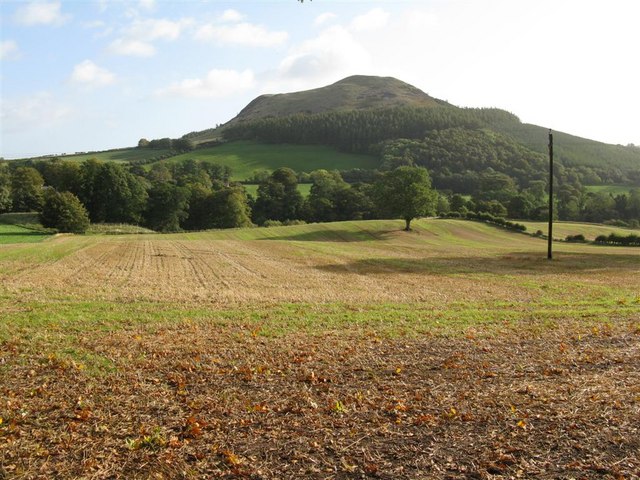
Farmland in the Leader Valley
Looking east from near Sorrowlessfield, across to Black Hill.
 Map © Crown Copyright")
TIP: Click the map for more Large scale mapping
- Grid Square
- NT5736, 38 images (more nearby 🔍)
- Photographer
- M J Richardson (more nearby)
- Date Taken
- Saturday, 3 October, 2009 (more nearby)
- Submitted
- Saturday, 3 October, 2009
- Subject Location
-
OSGB36:
 NT 579 368 [100m precision]
WGS84: 55:37.4092N 2:40.2054W - Camera Location
-
OSGB36: NT 573 368
- View Direction
- EAST (about 90 degrees)