2009
NX7366 : Main Street, Crossmichael
taken 15 years ago, near to Crossmichael, Dumfries And Galloway, Scotland
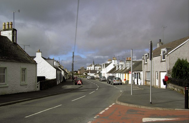
Main Street, Crossmichael.
Looking down Crossmichael Main Street in the direction of the church.
 Map © Crown Copyright")
TIP: Click the map for more Large scale mapping
- Grid Square
- NX7366, 27 images (more nearby 🔍)
- Photographer
- Colin Kinnear (more nearby)
- Date Taken
- Friday, 2 October, 2009 (more nearby)
- Submitted
- Sunday, 4 October, 2009
- Subject Location
-
OSGB36:
 NX 731 667 [100m precision]
WGS84: 54:58.7646N 3:59.0629W - Camera Location
-
OSGB36: NX 731 666
- View Direction
- North-northwest (about 337 degrees)