2005
SX6559 : Spurrell's Cross
taken 19 years ago, near to Harford, Devon, England
This is 1 of 7 images, with title Spurrell's Cross in this square
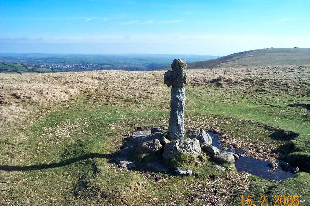
Spurrell's Cross
This medieval cross marks where the Monks route from Buckfast Abbey to Plympton Priory met the Wrangaton to Erme Pound track. The cross has been repaired. Ugborough Beacon is on the right and the small town of South Brent in the left distance.
 Map © Crown Copyright")
TIP: Click the map for more Large scale mapping
- Grid Square
- SX6559, 32 images (more nearby 🔍)
- Photographer
- Richard Knights (more nearby)
- Date Taken
- Wednesday, 16 February, 2005 (more nearby)
- Submitted
- Saturday, 4 June, 2005
- Subject Location
-
OSGB36:
 SX 65 59 [1000m precision]
WGS84: 50:25.1952N 3:53.6783W