2009
SP4671 : Thurlaston Island
taken 15 years ago, near to Thurlaston, Warwickshire, England
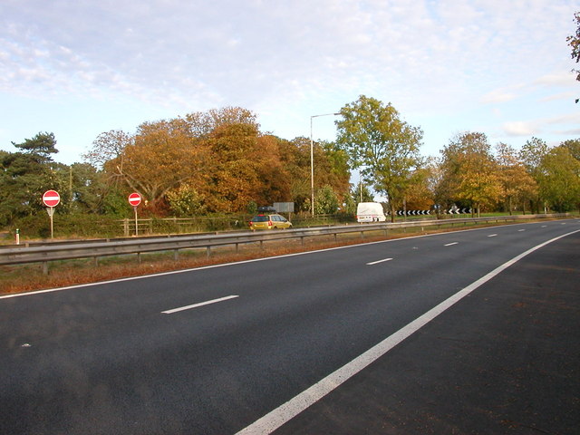
Thurlaston Island
Approaching the A45/M45 Island.The no entry signs are the exit from the large lay-by and former weighbridge.
 Map © Crown Copyright")
TIP: Click the map for more Large scale mapping
- Grid Square
- SP4671, 48 images (more nearby 🔍)
- Photographer
- Ian Rob (more nearby)
- Date Taken
- Sunday, 4 October, 2009 (more nearby)
- Submitted
- Monday, 5 October, 2009
- Subject Location
-
OSGB36:
 SP 463 715 [100m precision]
WGS84: 52:20.3780N 1:19.3112W - Camera Location
-
OSGB36: SP 463 715
- View Direction
- East-northeast (about 67 degrees)