2009
NX3154 : View across the ruins of Craignagapple Township to Fell Loch
taken 15 years ago, 4 km NNE of Culshabbin, Dumfries And Galloway, Scotland
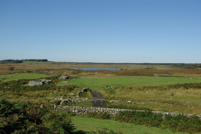
View across the ruins of Craignagapple Township to Fell Loch
 Map © Crown Copyright")
TIP: Click the map for more Large scale mapping
- Grid Square
- NX3154, 49 images (more nearby 🔍)
- Photographer
- Leslie Barrie (more nearby)
- Date Taken
- Sunday, 13 September, 2009 (more nearby)
- Submitted
- Monday, 5 October, 2009
- Subject Location
-
OSGB36:
 NX 315 547 [100m precision]
WGS84: 54:51.5564N 4:37.5732W - Camera Location
-
OSGB36: NX 315 547
- View Direction
- North-northwest (about 337 degrees)