2009
TR1559 : Kissing Gate on Barton Down
taken 15 years ago, near to Hales Place, Kent, England
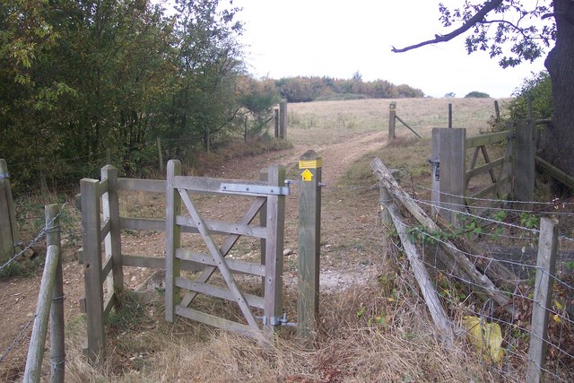
Kissing Gate on Barton Down
This gate is on a footpath from Broad Oak Road to Hunton Gardens, Hale Place.
The route of the path does not match the OS Map due to the work being carried out on the former quarry.
The route of the path does not match the OS Map due to the work being carried out on the former quarry.
 Map © Crown Copyright")
TIP: Click the map for more Large scale mapping
- Grid Square
- TR1559, 71 images (more nearby 🔍)
- Photographer
- David Anstiss (more nearby)
- Date Taken
- Wednesday, 30 September, 2009 (more nearby)
- Submitted
- Tuesday, 6 October, 2009
- Subject Location
-
OSGB36:
 TR 155 599 [100m precision]
WGS84: 51:17.8530N 1:5.4039E - Camera Location
-
OSGB36: TR 155 599
- View Direction
- West-northwest (about 292 degrees)