2009
TQ1280 : Alma Road merges into Stanley Road
taken 15 years ago, near to Southall, Ealing, England
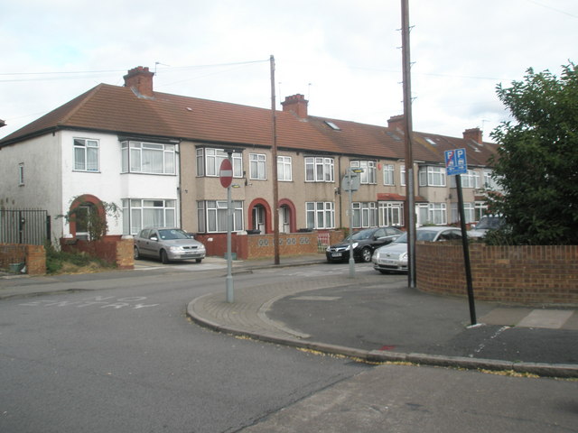
Alma Road merges into Stanley Road
 Map © Crown Copyright")
TIP: Click the map for more Large scale mapping
- Grid Square
- TQ1280, 298 images (more nearby 🔍)
- Photographer
- Basher Eyre (more nearby)
- Date Taken
- Saturday, 3 October, 2009 (more nearby)
- Submitted
- Friday, 9 October, 2009
- Subject Location
-
OSGB36:
 TQ 121 807 [100m precision]
WGS84: 51:30.8736N 0:23.1454W - Camera Location
-
OSGB36: TQ 120 807
- View Direction
- Southeast (about 135 degrees)