2009
SD4844 : Pipeline Works
taken 15 years ago, near to Churchtown, Lancashire, England
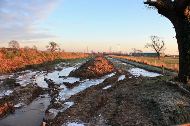
Pipeline Works
Looking like excavations for a dual carriageway, running towards the A6 and Cheese works in the distance.
 Map © Crown Copyright")
TIP: Click the map for more Large scale mapping
- Grid Square
- SD4844, 32 images (more nearby 🔍)
- Photographer
- Bob Jenkins (more nearby)
- Date Taken
- Tuesday, 6 January, 2009 (more nearby)
- Submitted
- Saturday, 10 October, 2009
- Subject Location
-
OSGB36:
 SD 484 441 [100m precision]
WGS84: 53:53.4299N 2:47.1961W - Camera Location
-
OSGB36: SD 482 442
- View Direction
- East-southeast (about 112 degrees)