2009
TQ3717 : Lumberpit Lane
taken 15 years ago, near to Plumpton Green, East Sussex, England
This is 1 of 2 images, with title Lumberpit Lane in this square
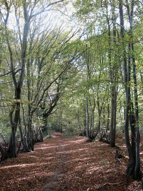
Lumberpit Lane
The name of a bridleway linking South Road and Beresford Lane.
 Map © Crown Copyright")
TIP: Click the map for more Large scale mapping
- Grid Square
- TQ3717, 51 images (more nearby 🔍)
- Photographer
- Simon Carey (more nearby)
- Date Taken
- Saturday, 10 October, 2009 (more nearby)
- Submitted
- Sunday, 11 October, 2009
- Subject Location
-
OSGB36:
 TQ 371 177 [100m precision]
WGS84: 50:56.5459N 0:2.9359W - Camera Location
-
OSGB36: TQ 371 177
- View Direction
- South-southeast (about 157 degrees)