2009
SO4108 : Information sign on stone-built plinth at Raglan Castle
taken 15 years ago, near to Raglan, Monmouthshire/Sir Fynwy, Wales
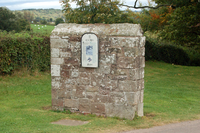
Information sign on stone-built plinth at Raglan Castle
Raglan Castle, in Monmouthshire, is the boyhood home of Henry Tudor, later King Henry VII. Although there had been a castle on this site since the twelfth century, the late medieval structure visible today dates mostly from the fifteenth. Although a defensive fortress, by the sixteenth century the castle had become the grand home of the Earls (later Marquesses) of Worcester.
When Civil War broke out in the 1640s, Henry Somerset, Marquess of Worcester, was a staunch supporter of King Charles. Even after most towns and castles in England and Wales had fallen to the Parliamentarians, Raglan held out for the King. After a siege lasting months, the Marquess was compelled to surrender the castle to General Fairfax on 19 August 1646. Much of the castle was destroyed at this time: despite this, much of the hexagonal Great Tower and the lavish suites of apartments survive.
Formerly conserved and managed by the British government's Board of Works (later English Heritage), the site is now cared for and run by Cadw (the historic environment service of the Welsh Assembly Government). Raglan Castle is open to visitors throughout the year.
 Map © Crown Copyright")
TIP: Click the map for more Large scale mapping
- Grid Square
- SO4108, 346 images (more nearby 🔍)
- Photographer
- Andy F (more nearby)
- Date Taken
- Monday, 28 September, 2009 (more nearby)
- Submitted
- Monday, 12 October, 2009
- Subject Location
-
OSGB36:
 SO 414 082 [100m precision]
WGS84: 51:46.1965N 2:50.9686W - Camera Location
-
OSGB36: SO 414 082
- View Direction
- EAST (about 90 degrees)