2009
TQ8634 : Footpath on raised embankment
taken 15 years ago, near to Tenterden, Kent, England
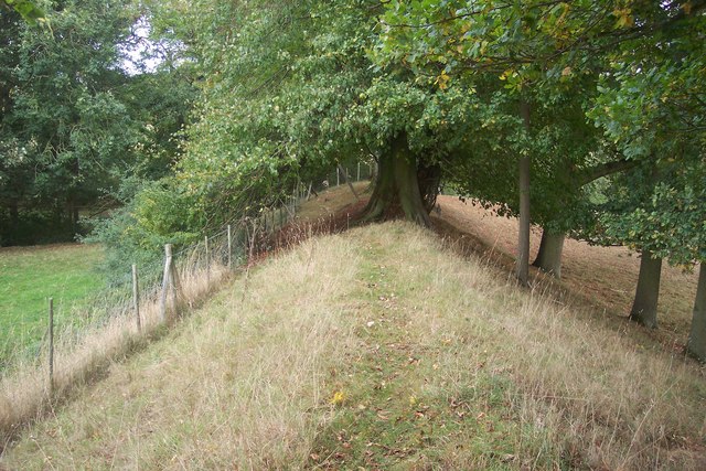
Footpath on raised embankment
This embankment separates Patt's Farm and Goodshill Farm (on the left). A footpath (No.AB19) from Chennell Park Road, leads along embankment towards Millpond Lane.
 Map © Crown Copyright")
TIP: Click the map for more Large scale mapping
- Grid Square
- TQ8634, 33 images (more nearby 🔍)
- Photographer
- David Anstiss (more nearby)
- Date Taken
- Sunday, 4 October, 2009 (more nearby)
- Submitted
- Monday, 12 October, 2009
- Subject Location
-
OSGB36:
 TQ 868 343 [100m precision]
WGS84: 51:4.6560N 0:39.9534E - Camera Location
-
OSGB36: TQ 868 342
- View Direction
- NORTH (about 0 degrees)