2009
SZ0693 : Bourne valley
taken 15 years ago, near to Branksome, Bournemouth, Christchurch & Poole, England
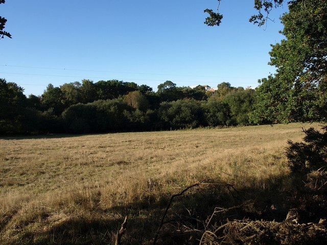
Bourne valley
A field surrounded by woodland in the valley, which forms a green strip running through the Poole and Bournemouth suburbs.
 Map © Crown Copyright")
TIP: Click the map for more Large scale mapping
- Grid Square
- SZ0693, 51 images (more nearby 🔍)
- Photographer
- Derek Harper (more nearby)
- Date Taken
- Monday, 12 October, 2009 (more nearby)
- Submitted
- Friday, 16 October, 2009
- Subject Location
-
OSGB36:
 SZ 0640 9357 [10m precision]
WGS84: 50:44.5023N 1:54.6398W - Camera Location
-
OSGB36: SZ 0649 9357
- View Direction
- WEST (about 270 degrees)