2009
SZ0692 : Bridleway on Talbot Heath (2)
taken 15 years ago, near to Branksome, Bournemouth, Christchurch & Poole, England
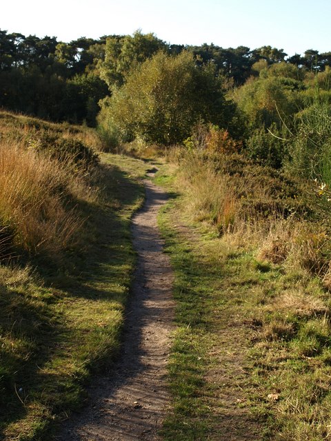
Bridleway on Talbot Heath (2)
Taken a little further along SZ0692 : Bridleway on Talbot Heath. "This site, together with Bourne Bottom, comprises two fragments of semi-natural heathland lying within the valley of the Bourne Stream, which form part of a linear strip of remnant heathland within the conurbation of Poole" Link
 Map © Crown Copyright")
TIP: Click the map for more Large scale mapping
- Grid Square
- SZ0692, 124 images (more nearby 🔍)
- Photographer
- Derek Harper (more nearby)
- Date Taken
- Monday, 12 October, 2009 (more nearby)
- Submitted
- Friday, 16 October, 2009
- Subject Location
-
OSGB36:
 SZ 0673 9266 [10m precision]
WGS84: 50:44.0110N 1:54.3601W - Camera Location
-
OSGB36: SZ 0674 9269
- View Direction
- South-southwest (about 202 degrees)