2009
NO2248 : Path, Den o' Alyth
taken 15 years ago, near to East Tullyfergus, Perth And Kinross, Scotland
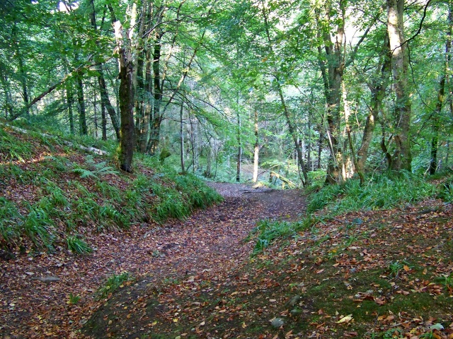
Path, Den o' Alyth
The Den, the deep-sided wooded valley of the Alyth Burn is designated a site of special scientific interest. The steep cliffs and the bouldery bed of the burn were shaped by glaciers moving south from the main Cairngorm ice mass. The valley has been wooded for several thousand years. The steep sides of the Den have probably protected the woods by making the removal of timber difficult.
 Map © Crown Copyright")
TIP: Click the map for more Large scale mapping
- Grid Square
- NO2248, 62 images (more nearby 🔍)
- Photographer
- Maigheach-gheal (more nearby)
- Date Taken
- Saturday, 3 October, 2009 (more nearby)
- Submitted
- Saturday, 17 October, 2009
- Subject Location
-
OSGB36:
 NO 229 487 [100m precision]
WGS84: 56:37.4487N 3:15.4696W - Camera Location
-
OSGB36: NO 229 487
- View Direction
- West-northwest (about 292 degrees)