2006
SO3439 : Drainage Leat
taken 18 years ago, near to Hinton, County of Herefordshire, England
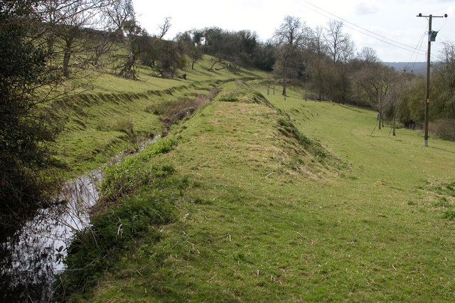
Drainage Leat
This water channel contours the hillside above Mawbage Farm
 Map © Crown Copyright")
TIP: Click the map for more Large scale mapping
- Grid Square
- SO3439, 13 images (more nearby 🔍)
- Photographer
- Philip Halling (more nearby)
- Date Taken
- Monday, 17 April, 2006 (more nearby)
- Submitted
- Tuesday, 18 April, 2006
- Subject Location
-
OSGB36:
 SO 346 394 [100m precision]
WGS84: 52:2.9581N 2:57.2531W - Camera Location
-
OSGB36: SO 346 394
- View Direction
- South-southeast (about 157 degrees)