2009
NO7386 : Upper reaches of Cowie Water entering an area of clearfell near Hill of Pittengoggie
taken 15 years ago, near to Leachie Hill [hill or Mountain], Aberdeenshire, Great Britain
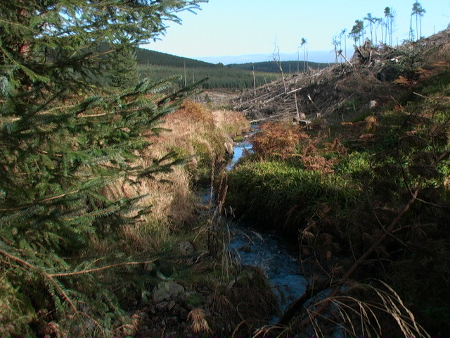
Upper reaches of Cowie Water entering an area of clearfell near Hill of Pittengoggie
 Map © Crown Copyright")
TIP: Click the map for more Large scale mapping
- Grid Square
- NO7386, 9 images (more nearby 🔍)
- Photographer
- ian shiell (more nearby)
- Date Taken
- Saturday, 17 October, 2009 (more nearby)
- Submitted
- Monday, 19 October, 2009
- Subject Location
-
OSGB36:
 NO 733 865 [100m precision]
WGS84: 56:58.1744N 2:26.4072W - Camera Location
-
OSGB36: NO 733 865
- View Direction
- North-northeast (about 22 degrees)