2009
SH6128 : Fields near Dinas
taken 14 years ago, near to Pentre Gwynfryn, Gwynedd, Wales
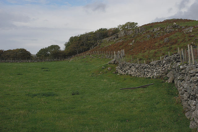
Fields near Dinas
The wall separates the good grazing on the left from the more stony stuff on the right.
 Map © Crown Copyright")
TIP: Click the map for more Large scale mapping
- Grid Square
- SH6128, 24 images (more nearby 🔍)
- Photographer
- Nigel Brown (more nearby)
- Date Taken
- Friday, 23 October, 2009 (more nearby)
- Submitted
- Friday, 23 October, 2009
- Subject Location
-
OSGB36:
 SH 612 287 [100m precision]
WGS84: 52:50.3218N 4:3.6972W - Camera Location
-
OSGB36: SH 612 287
- View Direction
- North-northwest (about 337 degrees)