2009
J0931 : The new Newry bypass (92)
taken 14 years ago, 4 km ESE of Jerrettspass, Co Armagh, Northern Ireland
The new Newry bypass (92)
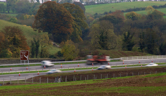
See J0729 : The new Newry bypass (91). The first section of the bypass, to the north of Newry, has now opened. It connects Beech Hill to a new roundabout south of the Sheep Bridge J0931 : The Sheep Bridge near Newry. This view shows the old Sheep Bridge at middle left (behind the brown sign) with the new road in the foreground and the new bridge J0931 : The new Newry bypass (53) across the Newry River at middle right.
The old bridge was one of the best-known landmarks on the old-style Belfast Dublin road. I havent been able to find out when it was built but my guess is that it was one of the improvements made to the road after the abolition of the Turnpike Trusts in 1857. Any further information will be welcome.
The old bridge was one of the best-known landmarks on the old-style Belfast Dublin road. I havent been able to find out when it was built but my guess is that it was one of the improvements made to the road after the abolition of the Turnpike Trusts in 1857. Any further information will be welcome.
Loading map... (JavaScript required)
- Grid Square
- J0931, 26 images (more nearby 🔍)
- Photographer
- Albert Bridge (more nearby)
- Date Taken
- Friday, 23 October, 2009 (more nearby)
- Submitted
- Friday, 23 October, 2009
- Subject Location
-
Irish:
 J 095 315 [100m precision]
WGS84: 54:13.2863N 6:19.2454W - Camera Location
-
Irish: J 095 319
- View Direction
- South-southeast (about 157 degrees)