2006
TL1214 : Nicky Line Halt
taken 18 years ago, near to Harpenden, Hertfordshire, England
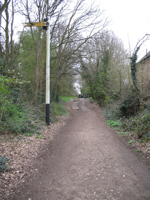
Nicky Line Halt
Now a cyclepath, the LMS/BR distant signal and remains of a platform bear witness to the branchline that once served Harpenden, Redbourn and Hemel Hempstead.
 Map © Crown Copyright")
TIP: Click the map for more Large scale mapping
- Grid Square
- TL1214, 48 images (more nearby 🔍)
- Photographer
- Martin Addison (more nearby)
- Date Taken
- Thursday, 20 April, 2006 (more nearby)
- Submitted
- Thursday, 20 April, 2006
- Subject Location
-
OSGB36:
 TL 124 147 [100m precision]
WGS84: 51:49.1779N 0:22.2401W - View Direction
- Northeast (about 45 degrees)