2009
SO7478 : Forestry road in Wyre Forest
taken 14 years ago, near to Buttonoak, Shropshire, England
This is 1 of 2 images, with title Forestry road in Wyre Forest in this square
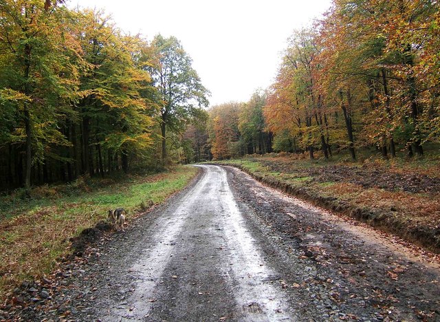
Forestry road in Wyre Forest
The road is only open to authorised vehicles but walkers etc are allowed to use it:- SO7478 : Forestry Road leading from Wyre Forest car park.
 Map © Crown Copyright")
TIP: Click the map for more Large scale mapping
- Grid Square
- SO7478, 57 images (more nearby 🔍)
- Photographer
- P L Chadwick (more nearby)
- Date Taken
- Tuesday, 27 October, 2009 (more nearby)
- Submitted
- Tuesday, 27 October, 2009
- Subject Location
-
OSGB36:
 SO 742 782 [100m precision]
WGS84: 52:24.1207N 2:22.7677W - Camera Location
-
OSGB36: SO 743 783
- View Direction
- Southwest (about 225 degrees)