2006
SH4581 : Country lane
taken 18 years ago, near to Capel Coch, Isle of Anglesey/Sir Ynys Mon, Wales
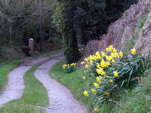
Country lane
A view of a narrow country lane near to Bryn Goleu
 Map © Crown Copyright")
TIP: Click the map for more Large scale mapping
- Grid Square
- SH4581, 13 images (more nearby 🔍)
- Photographer
- Nigel Williams (more nearby)
- Date Taken
- Saturday, 15 April, 2006 (more nearby)
- Submitted
- Thursday, 20 April, 2006
- Subject Location
-
OSGB36:
 SH 453 815 [100m precision]
WGS84: 53:18.4670N 4:19.3966W - Camera Location
-
OSGB36: SH 454 816
- View Direction
- West-southwest (about 247 degrees)