2006
SD8446 : Howgill Lane
taken 18 years ago, near to Newby, Lancashire, England
This is 1 of 2 images, with title Howgill Lane in this square
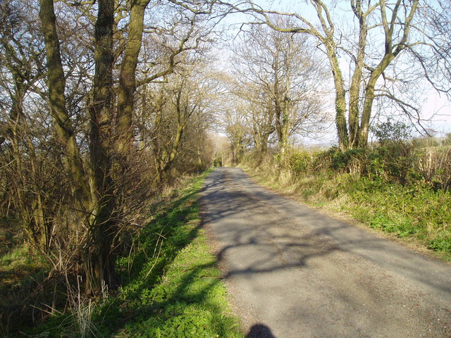
Howgill Lane
There are several lanes around here that bear this name. This one runs eastwards from the A682 to connect to two farms - Coverdale and Bonny Blacks.
 Map © Crown Copyright")
TIP: Click the map for more Large scale mapping
- Grid Square
- SD8446, 6 images (more nearby 🔍)
- Photographer
- Dr Neil Clifton (more nearby)
- Date Taken
- Friday, 21 April, 2006 (more nearby)
- Submitted
- Friday, 21 April, 2006
- Subject Location
-
OSGB36:
 SD 841 463 [100m precision]
WGS84: 53:54.7562N 2:14.6122W - Camera Location
-
OSGB36: SD 840 463
- View Direction
- EAST (about 90 degrees)