2006
TQ4500 : Mill Creek
taken 18 years ago, near to Rookery Hill, East Sussex, England
This is 1 of 14 images, with title Mill Creek in this square
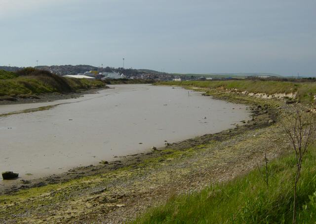
Mill Creek
A tide mill to grind flour was built here in 1768. Looking towards Newhaven.
 Map © Crown Copyright")
TIP: Click the map for more Large scale mapping
- Grid Square
- TQ4500, 256 images (more nearby 🔍)
- Photographer
- Janine Forbes (more nearby)
- Date Taken
- Friday, 21 April, 2006 (more nearby)
- Submitted
- Saturday, 22 April, 2006
- Subject Location
-
OSGB36:
 TQ 458 003 [100m precision]
WGS84: 50:47.0370N 0:4.0137E - View Direction
- West-northwest (about 292 degrees)