2006
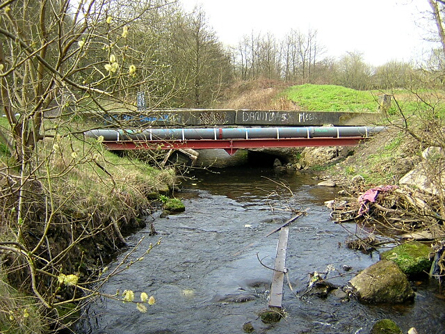
NS5259 : Brock Burn
taken 18 years ago, near to Nitshill, Glasgow, Scotland
This is 1 of 3 images, with title starting with Brock in this square
Brock Burn
Bridge over Brock Burn in Darnley Mains Park
 Map © Crown Copyright")
TIP: Click the map for more Large scale mapping
- Grid Square
- NS5259, 57 images (more nearby 🔍)
- Photographer
- Iain Thompson (more nearby)
- Date Taken
- Saturday, 22 April, 2006 (more nearby)
- Submitted
- Saturday, 22 April, 2006
- Subject Location
-
OSGB36:
 NS 529 594 [100m precision]
WGS84: 55:48.3247N 4:20.9132W - View Direction
- Southwest (about 225 degrees)