2009
SX0483 : Farmland above Tregardock Cliff
taken 15 years ago, near to Treligga, Cornwall, England
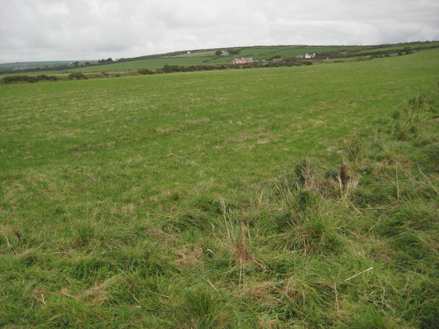
Farmland above Tregardock Cliff
Farmland above Tregardock Cliff viewed here from the coast path.
 Map © Crown Copyright")
TIP: Click the map for more Large scale mapping
- Grid Square
- SX0483, 16 images (more nearby 🔍)
- Photographer
- Philip Halling (more nearby)
- Date Taken
- Wednesday, 30 September, 2009 (more nearby)
- Submitted
- Tuesday, 3 November, 2009
- Subject Location
-
OSGB36:
 SX 044 835 [100m precision]
WGS84: 50:37.0999N 4:45.9670W - Camera Location
-
OSGB36: SX 042 839
- View Direction
- South-southeast (about 157 degrees)