1976
SH6315 : Fegla Fach
taken 48 years ago, near to Arthog, Gwynedd, Wales
Fegla Fach
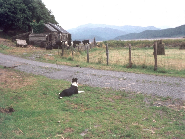
Cattle awaiting milking at farm buildings, working sheepdog looking on. Land rises to Fegla Fach on the left. The Afon Mawddach is just visible behind the cattle and the sea wall runs behind the field on the right. The farm buildings are just inside the eastern edge of the square.
 Map © Crown Copyright")
TIP: Click the map for more Large scale mapping
- Grid Square
- SH6315, 22 images (more nearby 🔍)
- Photographer
- E Gammie (more nearby)
- Date Taken
- Saturday, 24 July, 1976 (more nearby)
- Submitted
- Saturday, 22 April, 2006
- Subject Location
-
OSGB36:
 SH 639 152 [100m precision]
WGS84: 52:43.0812N 4:0.9300W - Camera Location
-
OSGB36: SH 639 152
- View Direction
- North-northeast (about 22 degrees)