2006
TQ4107 : Iford Farm
taken 18 years ago, near to Iford, East Sussex, England
This is 1 of 7 images, with title Iford Farm in this square
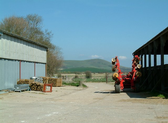
Iford Farm
The farmyard at Iford, looking north east towards Mount Caburn in the background.
 Map © Crown Copyright")
TIP: Click the map for more Large scale mapping
- Grid Square
- TQ4107, 28 images (more nearby 🔍)
- Photographer
- David Saunders (more nearby)
- Date Taken
- Saturday, 22 April, 2006 (more nearby)
- Submitted
- Saturday, 22 April, 2006
- Subject Location
-
OSGB36:
 TQ 411 071 [100m precision]
WGS84: 50:50.7734N 0:0.1728E - Camera Location
-
OSGB36: TQ 41 07
- View Direction
- East-northeast (about 67 degrees)