2006
SD7520 : Ruined Farm Musden Valley
taken 18 years ago, 3 km from Haslingden Grane, Lancashire, England
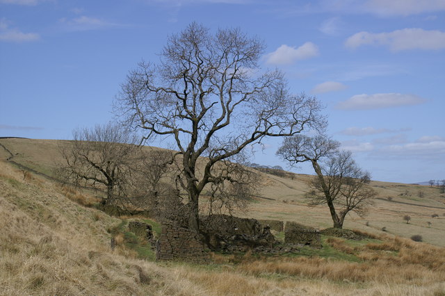
Ruined Farm Musden Valley
On Rossendale Way
 Map © Crown Copyright")
TIP: Click the map for more Large scale mapping
- Grid Square
- SD7520, 25 images (more nearby 🔍)
- Photographer
- Gillian Rimington (more nearby)
- Date Taken
- Sunday, 23 April, 2006 (more nearby)
- Submitted
- Sunday, 23 April, 2006
- Subject Location
-
OSGB36:
 SD 759 205 [100m precision]
WGS84: 53:40.8240N 2:21.9803W - View Direction
- North-northwest (about 337 degrees)