2009
SH6643 : Miners' track on Moelwyn Bach
taken 15 years ago, 3 km from Tanygrisiau, Gwynedd, Wales
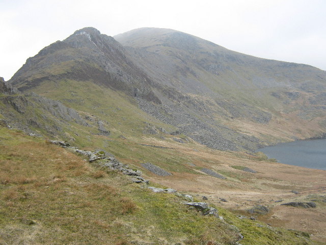
Miners' track on Moelwyn Bach
Looking towards Craigysgafn and Moelwyn Mawr. Llyn Stwlan is visible on the right.
 Map © Crown Copyright")
TIP: Click the map for more Large scale mapping
- Grid Square
- SH6643, 14 images (more nearby 🔍)
- Photographer
- David Medcalf (more nearby)
- Date Taken
- Sunday, 22 March, 2009 (more nearby)
- Submitted
- Thursday, 12 November, 2009
- Subject Location
-
OSGB36:
 SH 662 439 [100m precision]
WGS84: 52:58.5426N 3:59.6110W - Camera Location
-
OSGB36: SH 663 437
- View Direction
- Northwest (about 315 degrees)