SJ5183 : West Bank from Runcorn Bridge
taken 15 years ago, near to Widnes, Halton, England
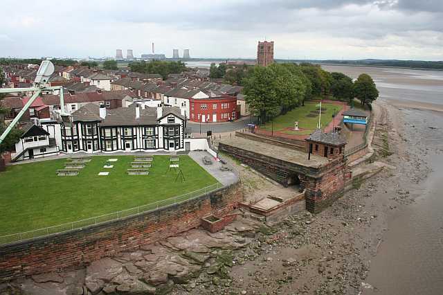
The RuncornWidnes Bridge was opened by Princess Alexandra in 1961 and replaced a transporter bridge, which opened in 1905 and was the largest of its type in the world. The 1901 red-sandstone power house, below the Mersey Hotel, marks the position of the northern tower of the earlier bridge. The current road bridge, widened in 197577 and renamed the Silver Jubilee Bridge, is a compression arch suspended-deck bridge, similar in design to the Sydney Harbour Bridge. The main span is 330 metres (1,082 feet) long and carries the road 24 metres (80 feet) above the waters of the Ship Canal. The adjacent Runcorn Railway Bridge opened in 1868; the three heraldic shields visible from the road bridge show the Liver Bird of Liverpool, Britannia (the crest of the London and North West Railway, who commissioned its construction) and the Arms of the City of London. Both bridges, and the power house, are Grade-II listed. Construction of a new road bridge, the Mersey Gateway, is proposed a mile upstream of the current bridges. (From my forthcoming book, Adventurous Pub Walks in Cheshire.) Read more on Wikipedia: Link
 Map © Crown Copyright")
- Grid Square
- SJ5183, 226 images (more nearby 🔍)
- Photographer
- Dave Dunford (more nearby)
- Date Taken
- Monday, 31 August, 2009 (more nearby)
- Submitted
- Monday, 30 November, 2009
- Subject Location
-
OSGB36:
 SJ 513 837 [100m precision]
WGS84: 53:20.9193N 2:43.9814W - Camera Location
-
OSGB36: SJ 510 836
- View Direction
- East-northeast (about 67 degrees)