2009
SO8240 : Track to Lower Hook Farm
taken 14 years ago, near to Tunnel Hill, Worcestershire, England
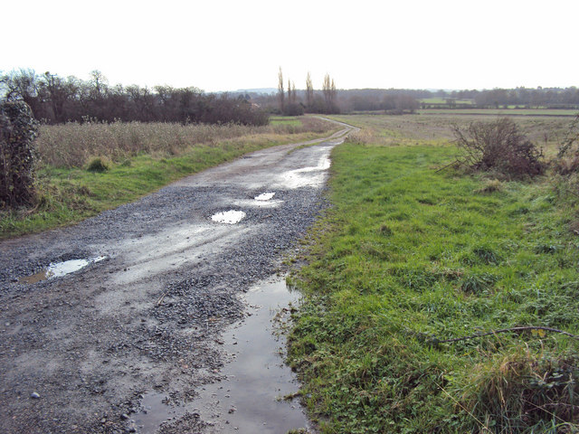
Track to Lower Hook Farm
Looking south from Upper Hook Road. The farm buildings are hidden in the trees
 Map © Crown Copyright")
TIP: Click the map for more Large scale mapping
- Grid Square
- SO8240, 85 images (more nearby 🔍)
- Photographer
- Trevor Rickard (more nearby)
- Date Taken
- Friday, 4 December, 2009 (more nearby)
- Submitted
- Tuesday, 8 December, 2009
- Subject Location
-
OSGB36:
 SO 823 403 [100m precision]
WGS84: 52:3.6854N 2:15.5227W - Camera Location
-
OSGB36: SO 823 405
- View Direction
- South-southeast (about 157 degrees)