2009
SE3620 : The Top Field Kirkthorpe
taken 15 years ago, near to Warmfield, Wakefield, England
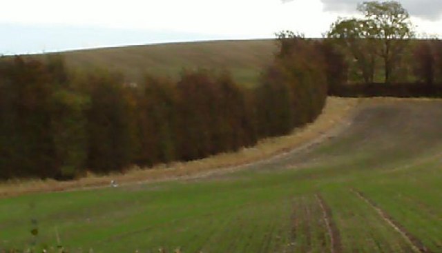
The Top Field Kirkthorpe
Picture taken from the Wood wall, like the Back Field, the Top Field was also ideal for sledging in the winter. From the top it afforded good views of Stanley and beyond to the North and Sharlston Common to the South.
 Map © Crown Copyright")
TIP: Click the map for more Large scale mapping
- Grid Square
- SE3620, 123 images (more nearby 🔍)
- Photographer
- Trevor Wainwright (more nearby)
- Date Taken
- Monday, 12 October, 2009 (more nearby)
- Submitted
- Sunday, 13 December, 2009
- Subject Location
-
OSGB36:
 SE 364 208 [100m precision]
WGS84: 53:40.9812N 1:26.9400W - Camera Location
-
OSGB36: SE 362 210
- View Direction
- Southeast (about 135 degrees)