2006
NY7867 : Little Shield
taken 18 years ago, 3 km from Bardon Mill, Northumberland, England
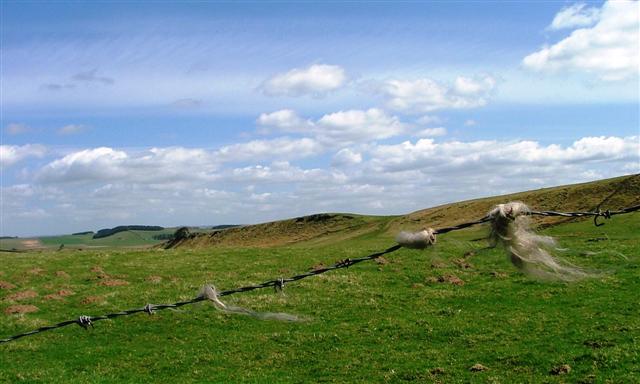
Little Shield
View east from the junction of the Military road (B6318) with the unclassified road to Crindledykes across the rough pasture to the ridge mapped as Little Shield.
 Map © Crown Copyright")
TIP: Click the map for more Large scale mapping
- Grid Square
- NY7867, 39 images (more nearby 🔍)
- Photographer
- Mick Garratt (more nearby)
- Date Taken
- Saturday, 29 April, 2006 (more nearby)
- Submitted
- Monday, 1 May, 2006
- Subject Location
-
OSGB36:
 NY 781 678 [100m precision]
WGS84: 55:0.2568N 2:20.6350W - Camera Location
-
OSGB36: NY 781 678
- View Direction
- EAST (about 90 degrees)