2006
NY7365 : Rough Pasture, Cranberry Brow
taken 18 years ago, near to Melkridge, Northumberland, England
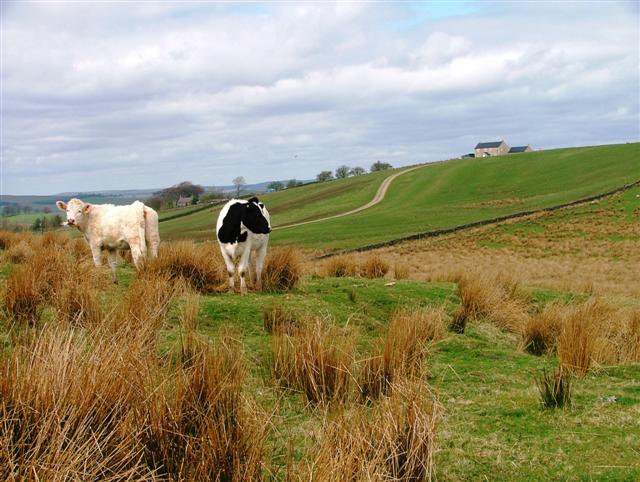
Rough Pasture, Cranberry Brow
The building on the hill is appropriately named Hill Top. Taken from the Right of Way to Cranberry Brow.
 Map © Crown Copyright")
TIP: Click the map for more Large scale mapping
- Grid Square
- NY7365, 21 images (more nearby 🔍)
- Photographer
- Mick Garratt (more nearby)
- Date Taken
- Sunday, 30 April, 2006 (more nearby)
- Submitted
- Monday, 1 May, 2006
- Subject Location
-
OSGB36:
 NY 737 655 [100m precision]
WGS84: 54:59.0039N 2:24.7495W - Camera Location
-
OSGB36: NY 737 655
- View Direction
- Northwest (about 315 degrees)