2006
NS7078 : Balcastle Farm
taken 18 years ago, near to Queenzieburn, North Lanarkshire, Scotland
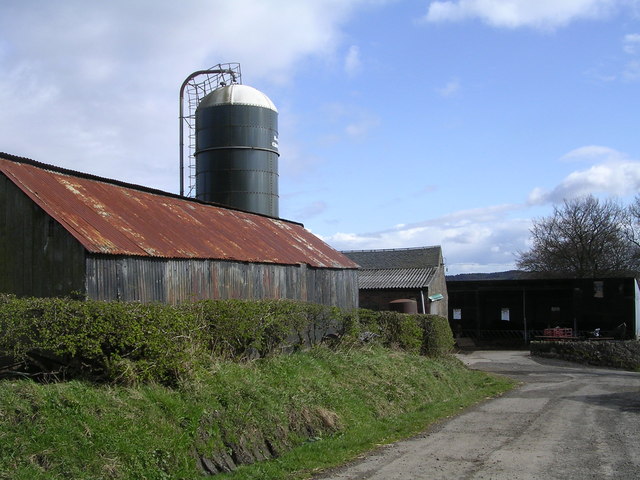
Balcastle Farm
 Map © Crown Copyright")
TIP: Click the map for more Large scale mapping
- Grid Square
- NS7078, 20 images (more nearby 🔍)
- Photographer
- Chris Upson (more nearby)
- Date Taken
- Monday, 1 May, 2006 (more nearby)
- Submitted
- Monday, 1 May, 2006
- Subject Location
-
OSGB36:
 NS 702 784 [100m precision]
WGS84: 55:58.8583N 4:4.9120W